James Fortune ~Vietnam
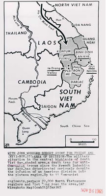 The Ho Chi Minh Trail is really a bunch of trails. The North Vietnamese used this trail as a supply route for weapons, food and other supplies. The trail ran along the borders of Laos, Cambodia and Vietnam. Jungle was the dominant flora and great care was utilized by Ho Chi Minh to grow canopy trees that hid it from reconnaissance planes above. It was used by trucks as well as ordinary bicycles, bicycles that could haul provisions weighing as much as 600 pounds.
The United States would use it's Agent Orange defoliant to clear away the jungle, so that it's spotter jets could see the action below and be
(AP Wirephoto Map)
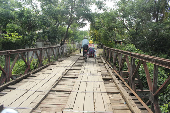 Courtesy Thuy Khuat Bich
warned of any impending buildup by the North Vietnamese. Ho would incorporate dummy routes along the way to confuse United States troops. The North Vietnamese used low technology in a growing high technology world. The United States Military would spend billions monitoring this trail using the highest sophisticated weapons it had at it's disposal or if they needed research what was needed and then build and deploy.
It was this clash between 19th and early 20th century guerrilla warfare and modern later 20th century United States technology know-all to try and counter the Ho Chi Minh Trail supply chain.